Unmanned Aerial Systems (UAS) Bachelor, Associate, and Certificate Programs
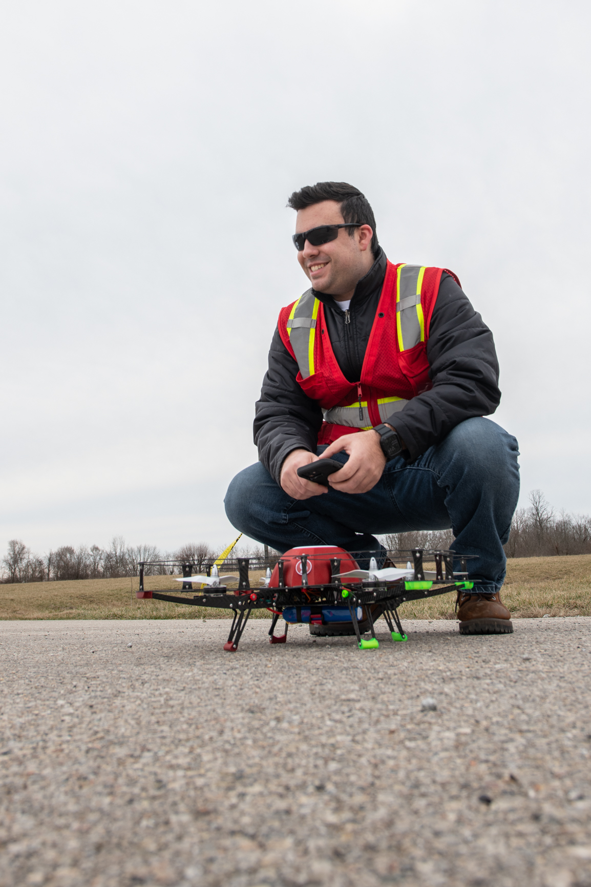
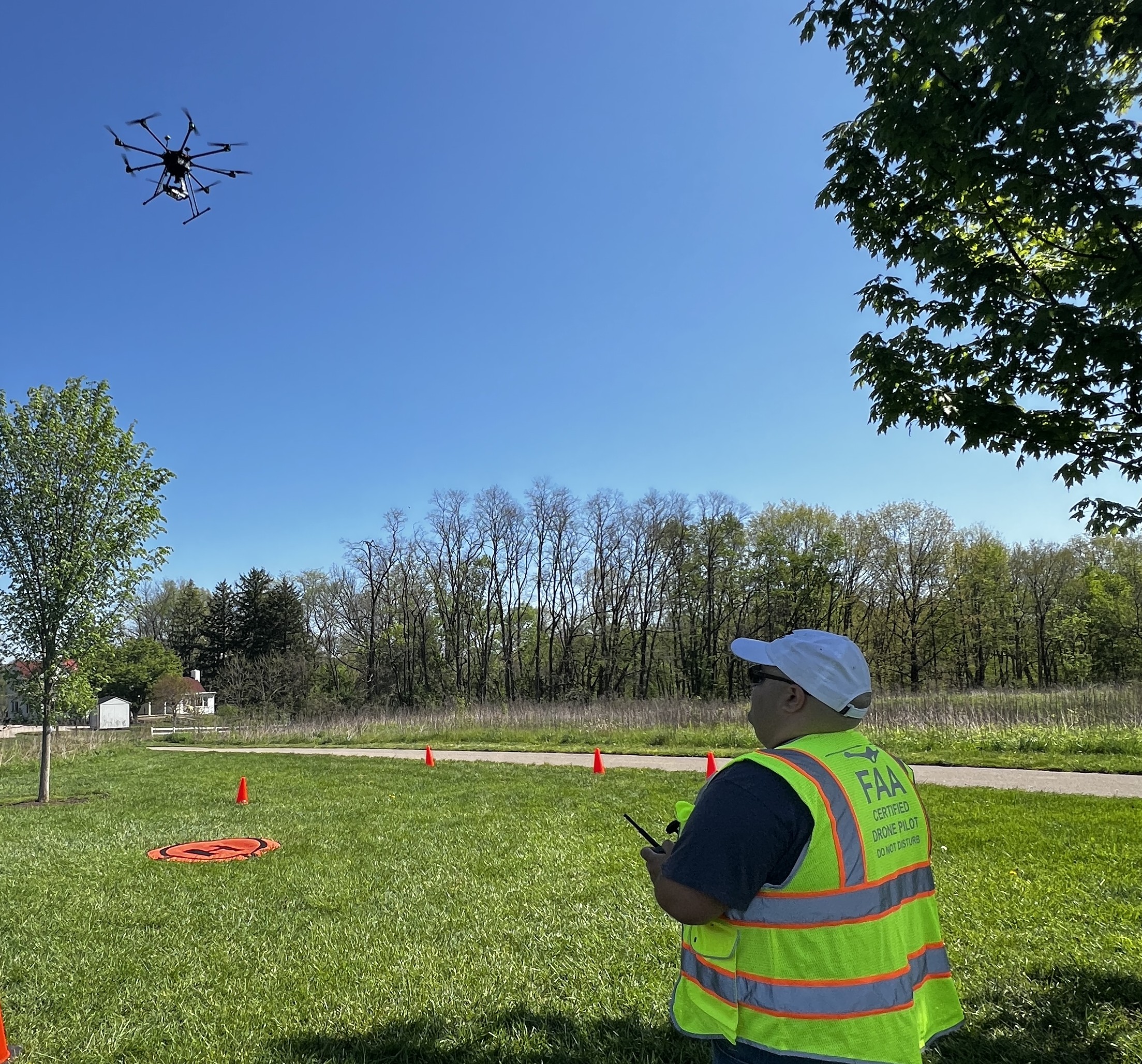
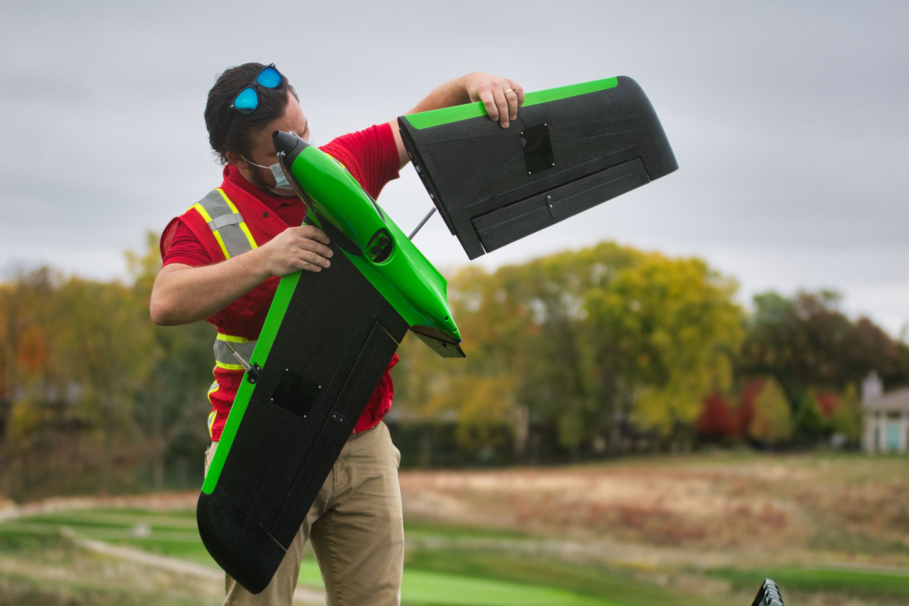
Sinclair Community College is a national leader in Unmanned Aerial Systems (UAS) education, training, and applied research. Our program combines hands-on experience with the latest drone technologies, preparing students for careers in one of the fastest-growing industries in the world. Whether your goal is to become a certified pilot, a technician, or a data analyst, Sinclair provides the resources, expertise, and industry connections to help you succeed.
Sinclair, located in downtown Dayton, has been a part of aviation technology development in the Miami Valley and Ohio region for many decades.
- Full college experience
- Downtown campus in the heart of Dayton
- Ask about flexible room and meal plans
- Student clubs and aviation organizations
- Scholarship and paid internships available
Stackable Pathways
Sinclair’s UAS programs are designed to build on one another. Every certificate seamlessly articulates into the next level of study, and all certificate courses apply directly toward our associate degree programs. This flexible, stackable structure allows students to start with a short-term credential, gain industry-recognized skills, and then continue their education at their own pace toward advanced certificates or a degree—without losing progress along the way.
Bachelor of Applied Science (B.A.S) in Unmanned Aerial Systems
Sinclair’s UAS bachelor’s degree prepares students to lead or manage drone programs in industry, government, or their own businesses. Built on strong industry partnerships, the program offers hands-on training with cutting-edge tools, flight operations, UAS maintenance, data analytics, AI integration, and project management. This gives students the skills that employers demand.
Students are required to complete the Data Analytics short term certificate, providing a strong foundation in interpreting and applying UAS data. In addition, each student selects one other track—such as Geogrpahic Infromation Systems, Artificial Intelligence, Agriculture, First REsponder, Entrepreneurship, or Advanced Air Mobility allowing them to tailor their education to specific career goals while gaining both broad and specialized expertise.
Explore core courses: Unmanned Aerial Systems (UAS) (UAS.S.BAS) — Bachelor of Applied Science
Associates of Applied Science (A.A.S) in Unmanned Aerial Systems
Sinclair’s UAS associate degree prepares students for entry-level to mid-level careers in the rapidly growing drone industry. The program builds a strong foundation in flight operations, safety, and basic maintenance, while allowing students to explore specialized applications through the pursuit of short-term certificates. Supported by industry partnerships and extensive hands-on training with professional UAS platforms and software, graduates are equipped to enter the workforce immediately or continue their education toward a bachelor’s degree.
Explore core courses: Unmanned Aerial Systems (UAS.S.AAS) — Associate of Applied Science
One-year Certificates
- Unmanned Aerial Systems (UAS.S.CRT) — General Certificate
- UAS Entrepreneurship (UASENT.S.CRT) — General Certificate
Short-term Certificates
- UAS Aerial Sensing Data Analytics (UASDTA.S.STC) — Short-term Certificate
- UAS Artificial Intelligence (AI)/Autonomous Systems (UASAI.S.STC) — Short-term Certificate
- UAS First Responders (UASFR.S.STC) — Short-term Certificate
- UAS for Geographic Information Systems (UASGIS.S.STC) — Short-term Certificate
- UAS Precision Agriculture (UASAG.S.STC) — Short-term Technical Certificate
- Advanced Air Mobility Maintenance Technician (AAMMT.S.STC) — Short-term Certificate
Sinclair UAS Advisory Board


Kelly Hick
AVP Finance
DEXA - Drone Express
Joined: 2026
Russ Kline
Chief Regulatory Officer
DEXA - Drone Express
Joined: 2026

-
 In Demand Career Opportunities
The Unmanned Aerial System (UAS) industry is a rapidly developing field with seemingly endless possibilities for new concepts for both careers and entrepreneurship opportunities. In demand career opportunities exist in these identified specific areas with growth:
- UAS Operations
- UAS Maintenance
- Geospatial Information Systems
- First Responding
- Precision Agriculture
- Data Analysis
Where our Students Work
Meet our Team!


Sinclair's Fleet
Maintained by:

Merlin TNK
The TNK is built in USA. Featuring light weight advanced composite modular construction, the frame design allows for kinetic energy to be distributed into deliberate failure ponts. this strategy paired with only nine unique paired with only nine unique parts in the frame results in rapid repair with eimple hand tools, drastically increasing time aloft for training
The TNK uses an ArduPilot-based flight controller for open-source control. This setup allows trainers to disable GNSS and barometer stabilization, simulating the types of failsafes a pilot may encounter in the field. It also supports research-focused projects and custom sensor integrations, giving students hands-on experience with advanced UAS capabilities.
Autel Evo 2
6K Electro Optic
A versatile aircraft equipped with a high-resolution 6K camera, making it ideal for photography, mapping, and inspection missions. Its compact design and obstacle avoidance make it a reliable platform for both training and professional applications.
Dual Thermal
The Autel EVO II Dual combines a high-resolution visual camera with a thermal imaging sensor, allowing operators to capture both RGB and thermal data simultaneously. This makes it a powerful tool for applications such as search and rescue, infrastructure inspection, and public safety training.
Aurelia X8
The Aurelia X8 Standard is a professional-grade, heavy-lift unmanned aircraft designed for versatility, reliability, and performance in demanding environments. Its octocopter configuration provides exceptional stability and redundancy, making it an ideal training platform for students who need hands-on experience with large, complex UAS systems.
At Sinclair, the Aurelia X8 is equipped with payloads such as the Sony A6000 for high-resolution photogrammetry, the Gremsy T3 gimbal for stabilized imaging, and multispectral sensors for agricultural applications. This adaptability demonstrates how a single platform can be reconfigured to support multiple industries.
Sentera PHX
The Sentera PHX is a high-performance fixed-wing unmanned aircraft system built for long-endurance and high-accuracy data collection. The PHX is widely used in precision agriculture, surveying, and environmental monitoring. Its fixed-wing design allows it to cover large areas quickly while capturing high-resolution data, giving students valuable experience with mission planning and aerial mapping at scale.
The PHX can be outfitted with a variety of sensors, primarily cameras for crop health analysis. This flexibility allows students to see how data from different sensors is applied across industries, from agriculture to land management and conservation.
Sinclair's Sensors
Multispectral
The RedEdge-MX captures five spectral bands to generate vegetation indices for crop health and precision agriculture. Sinclair students gain hands-on experience in flight planning, image collection, and processing, preparing them for careers in agriculture, environmental monitoring, and geospatial analysis.
LiDAR
The MiniRanger-1 is a professional LiDAR system generating high-resolution 3D point clouds for mapping, surveying, and environmental monitoring. Students learn mission planning, data capture, and geospatial analysis, gaining experience for careers in, civil engineering, and natural resource management.
Thermal
The Vue Pro R provides radiometric thermal imaging, while the Autel EVO II Dual combines visual and thermal sensors. Students train in thermal data collection and analysis, preparing them for applications in inspections, public safety, and emergency response.
Environmental
The DR1000 is a drone-mounted air quality sensor that detects gases and particulates in real time. Sinclair students learn to operate the system and interpret data, gaining skills for careers in environmental monitoring, industrial safety, and sustainability.